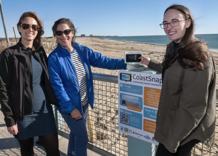
NARRAGANSETT – The University of Rhode Island is calling for Ocean State residents to act as “community scientists” as it rolls out new CoastSnap data collection technology in three towns.
The international program, overseen at URI by the School of Oceanography at URI’s Narragansett Bay Campus, was developed at the University of New South Wales, Australia, and works with partners across 22 countries to monitor climate change impacts in coastal areas.
URI announced earlier this month that is expanding the CoastSnap technology to Latham Park in Barrington, East Matunuck State Beach in South Kingstown and Misquamicut State Beach in Westerly.
The program encourages residents to use newly-installed cellphone cradles to take photos of shoreline sites for the CoastSnap app. The cradle technology properly positions all photos for research purposes, according to URI, and allows the photos to be combined into a video sequence showing shoreline changes in time-lapse style.
“Our hope is that community members gain an easy and enjoyable means of contributing to local-level efforts to address climate change impacts,” said Pam Rubinoff, a resilience specialist for URI’s Coastal Resources Center/Sea Grant, “while government decision-makers and staff can consider how crowd-gathered and shared visual evidence can support resilience planning.”
The compiled photos could help inform government data on climate change events, such as flooding and erosion, and how to these impacts.
The R.I. Department of Environmental Management provides data collection sites and technology installation.
The URI CRC/Sea Grant plans to roll out an additional shoreline monitoring app, MyCoastRI, which will also use smartphone data collection to monitor shoreline changes. The university’s coastal data efforts receive fudning from the National Oceanic and Atmospheric Administration.
Jacquelyn Voghel is a PBN staff writer. You may reach her at Voghel@PBN.com.


